Discover Riverdale
Neighbourhood overview
What is it like living in Riverdale?
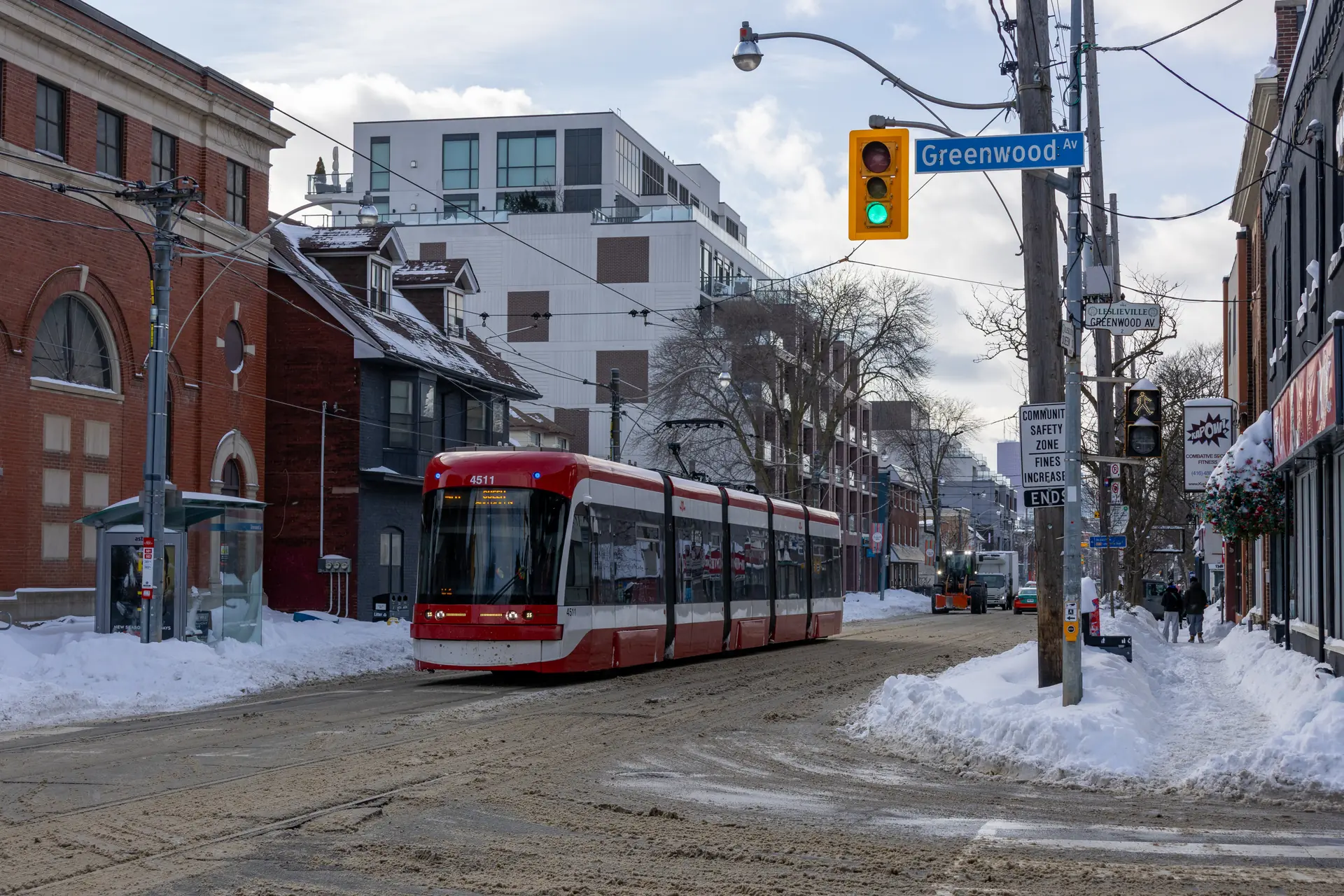
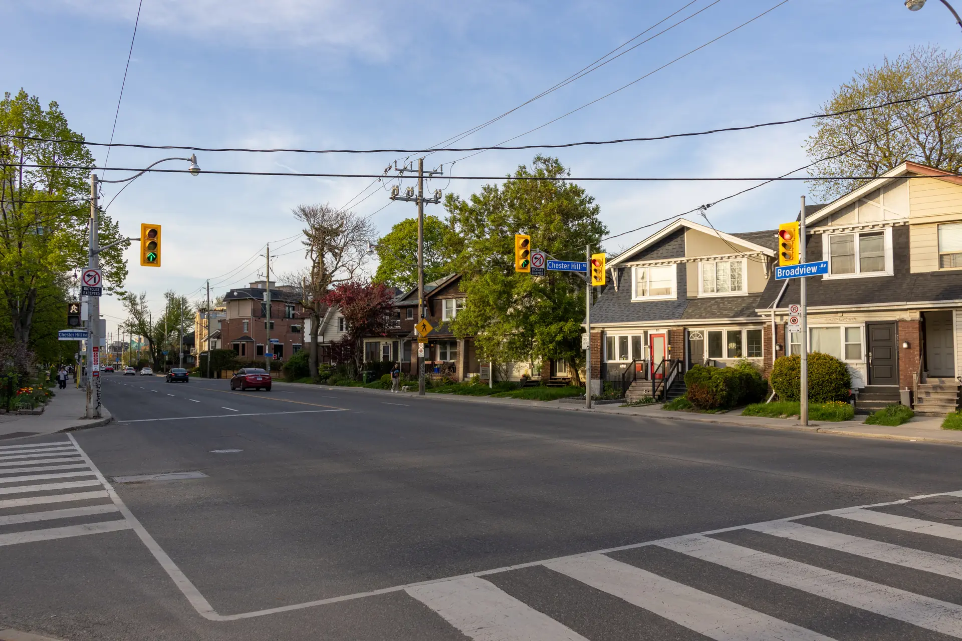
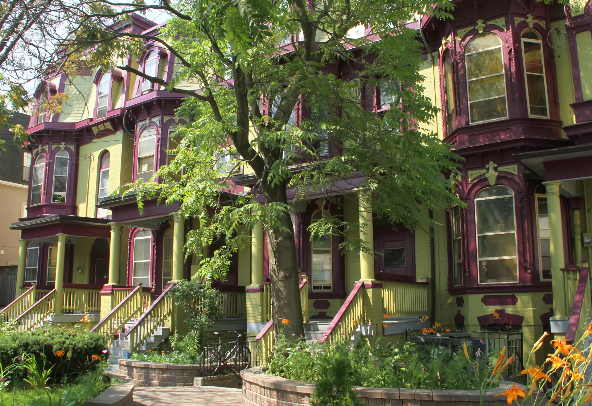
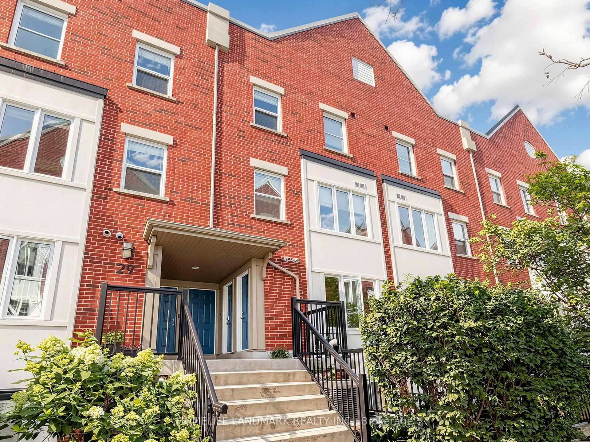
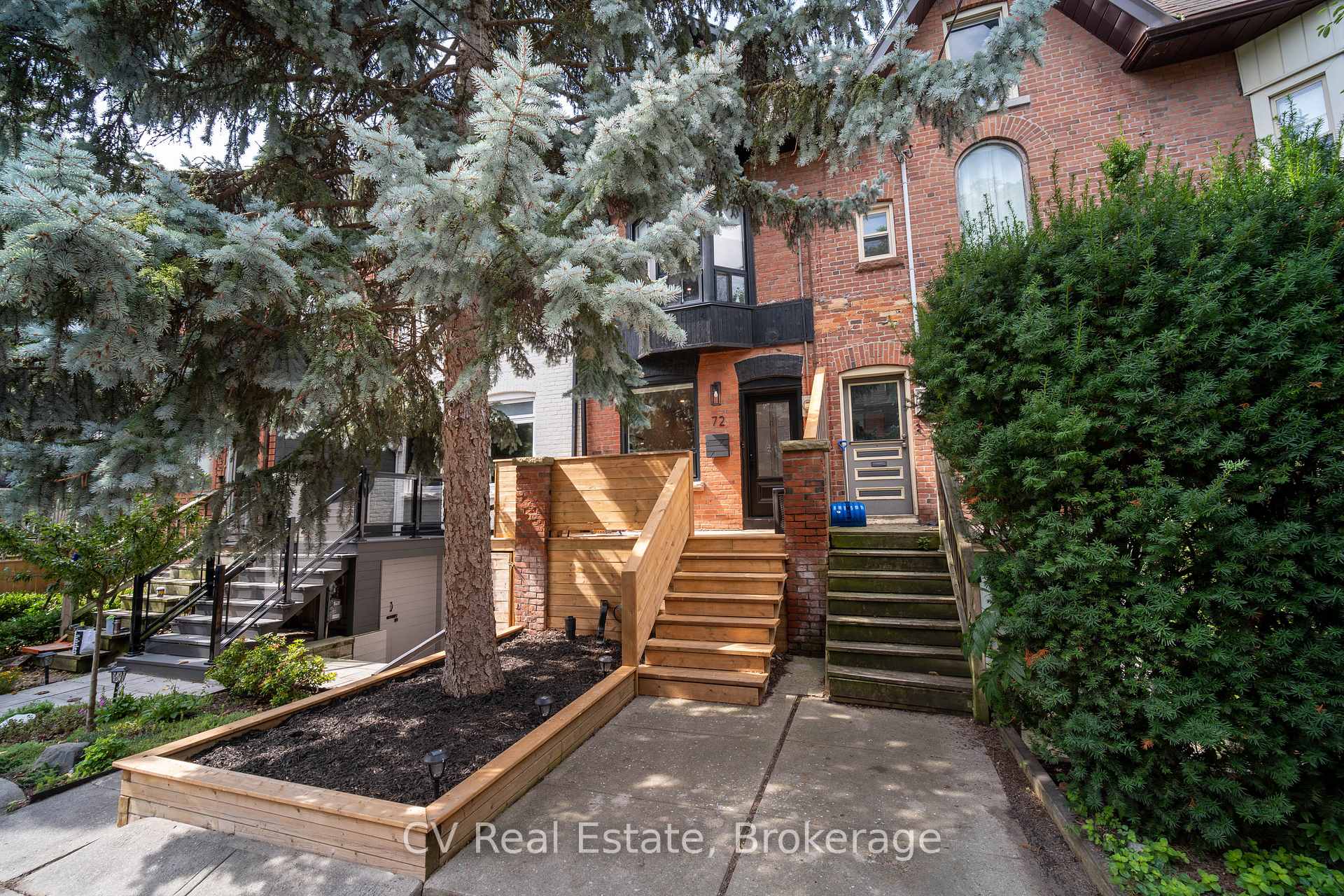
Riverdale is an east-end Toronto neighbourhood where established residential streets meet busy main streets, generous parks and direct transit into the core. Victorian and Edwardian houses remain a defining part of the streetscape, alongside row houses, low-rise apartments and newer infill.
Daily life tends to centre on the Danforth, Gerrard Street East, Broadview Avenue and the parks threaded through the community. Riverdale is broad and locally understood in different ways, so housing, school access and the feel of each pocket can change noticeably from one side to another.
On the move
How easy is it to get around Riverdale?
Walk Score rates Riverdale on a 100-point scale for walking, transit and cycling. Exact travel time depends on the address, time of day and service conditions.

Walk Score
Errands on foot

Transit Score
Access to public transit

Bike Score
Errands by bike
From Riverdale to the places that matter
Enter a destination to see the route for
your chosen travel mode.

Buying & selling
How is the Riverdale real estate market?
Sale Price Not published
Homes Sold 16
Days on Market Not published
As of March 2026, TRREB's E01 market area recorded 16 detached sales across North Riverdale, Blake-Jones and South Riverdale. TRREB does not publish averages for home types with two or fewer sales. These are area-level figures, not a valuation of any individual property.



Education
What schools are in Riverdale?
Boards assign a home school per address, so two houses on the same street can be served differently, and boundaries, programs and enrolment rules change. Look up your exact address with the board before it matters.
| JK-5 | Public | Dundas Junior Public School | Not ranked Not included in the Fraser report |
| JK-6 | Public | Withrow Avenue Junior Public School | 7.8/10 Provincial rank 447 of 3,052 |
| JK-6 | Public | Wilkinson Junior Public School | 7.7/10 Provincial rank 480 of 3,052 |
| JK-6 | Public | Frankland Community School Junior | 6.3/10 Provincial rank 1,348 of 3,052 |
| JK-6 | Public | Blake Street Junior Public School | 5.8/10 Provincial rank 1,703 of 3,052 |
| JK-6 | Catholic | ÉÉC du Bon-Berger | Not ranked Not included in the Fraser report |
| JK-8 | Catholic | Holy Name Catholic School | 5.7/10 Provincial rank 1,777 of 3,052 |
| 6-8 | Public | Queen Alexandra Middle School | Not ranked Fraser does not rank grades 7–8 |
| 7-8 | Public | Earl Grey Senior Public School | Not ranked Fraser does not rank grades 7–8 |
| 9-12 | Public | Riverdale Collegiate Institute | 8.7/10 Provincial rank 33 of 747 |
Find the School Assigned to an Address
Each address is assigned to a specific public school, and boundaries can vary by street. Always confirm the designated school with the local school board. Private schools have separate admission requirements.
Community profile
Who lives in Riverdale?
The City of Toronto profiles used for this guide cover 46,580 residents in 20,710 households, with an average household size of 2.3 and median household incomes ranging from $86,000 to $108,000. The figures combine North Riverdale, Blake-Jones and South Riverdale as a statistical proxy for the broader neighbourhood residents commonly call Riverdale. Select any segment to read what it represents.
Community statistics combine the City of Toronto's North Riverdale, Blake-Jones and South Riverdale neighbourhood profiles. These statistical areas do not define Riverdale's exact neighbourhood boundary.
Parks, shops & local favourites
What is there to do in Riverdale?
A glimpse of what you'll find around the neighbourhood. Open the full directory to explore more local places.
Restaurants & dining 8
Grocery & shopping 8
Gym & fitness 8
Recreation & parks 8
Local calendar
What is happening nearby?
Local growers, food producers, music and family programming from 9 a.m. to 1 p.m.
view details Riverdale Farm demonstrationA free daily animal presentation at 11:30 a.m., with trails, barns and gardens to explore.
view details Events on the DanforthSee current street events, live music, local performances and neighbourhood programming.
view detailsFrequently asked questions
Questions about Riverdale
What are the boundaries of Riverdale?
There is no single boundary used by every resident, service or data source. In broad local use, Riverdale sits east of the Don River and extends through distinct pockets on both sides of Gerrard Street East toward Greenwood. For the community statistics on this page, HomeLife combines the City's North Riverdale, Blake-Jones and South Riverdale profiles.
What types of homes are found in Riverdale?
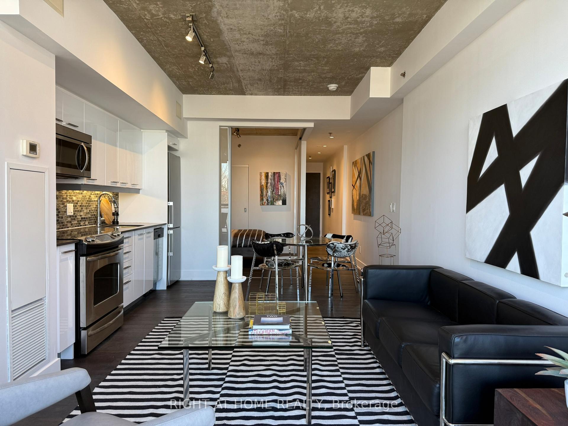
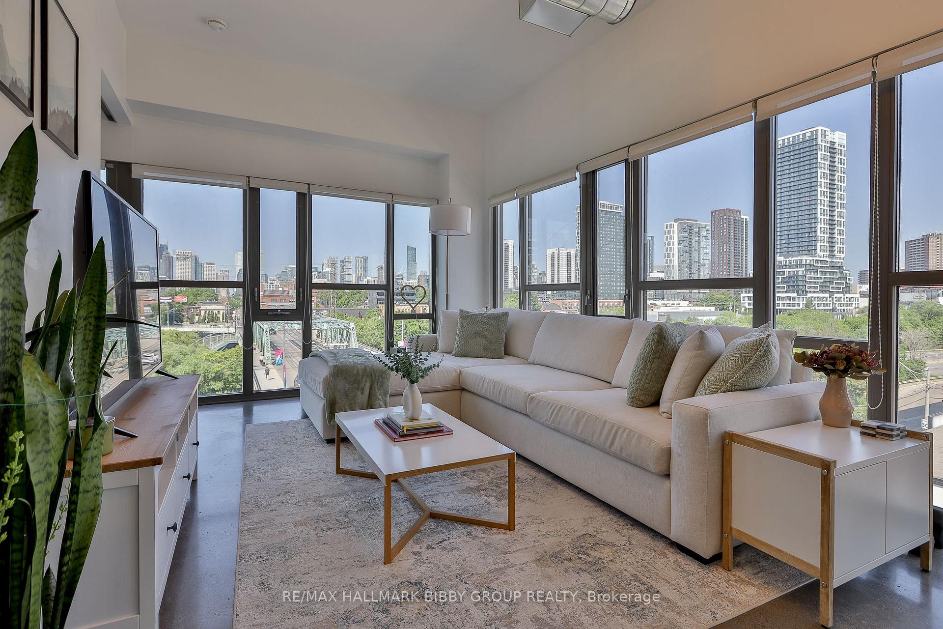
The housing mix includes Victorian and Edwardian detached and semi-detached houses, row houses, duplexes, low-rise apartments, condominium buildings and newer infill. Across the three combined City profiles, semi-detached houses make up about 23 per cent of dwellings and low-rise apartments about 30 per cent, so the mix changes significantly by pocket and main street.
Is Riverdale a good neighbourhood for families?
Families often look at Riverdale for its parks, schools, community programming and transit access. About 32 per cent of households include children. Suitability still depends on the exact address, school eligibility, housing budget, commute and the amount of main-street activity a household prefers.
What future developments should buyers know about?
Public-realm and transportation projects can affect different parts of the broader east end. The City is currently planning top-of-bank improvements at Riverdale Park East, with construction scheduled to begin in 2027. Buyers should also review current planning applications for any specific address.
What is Riverdale's history?
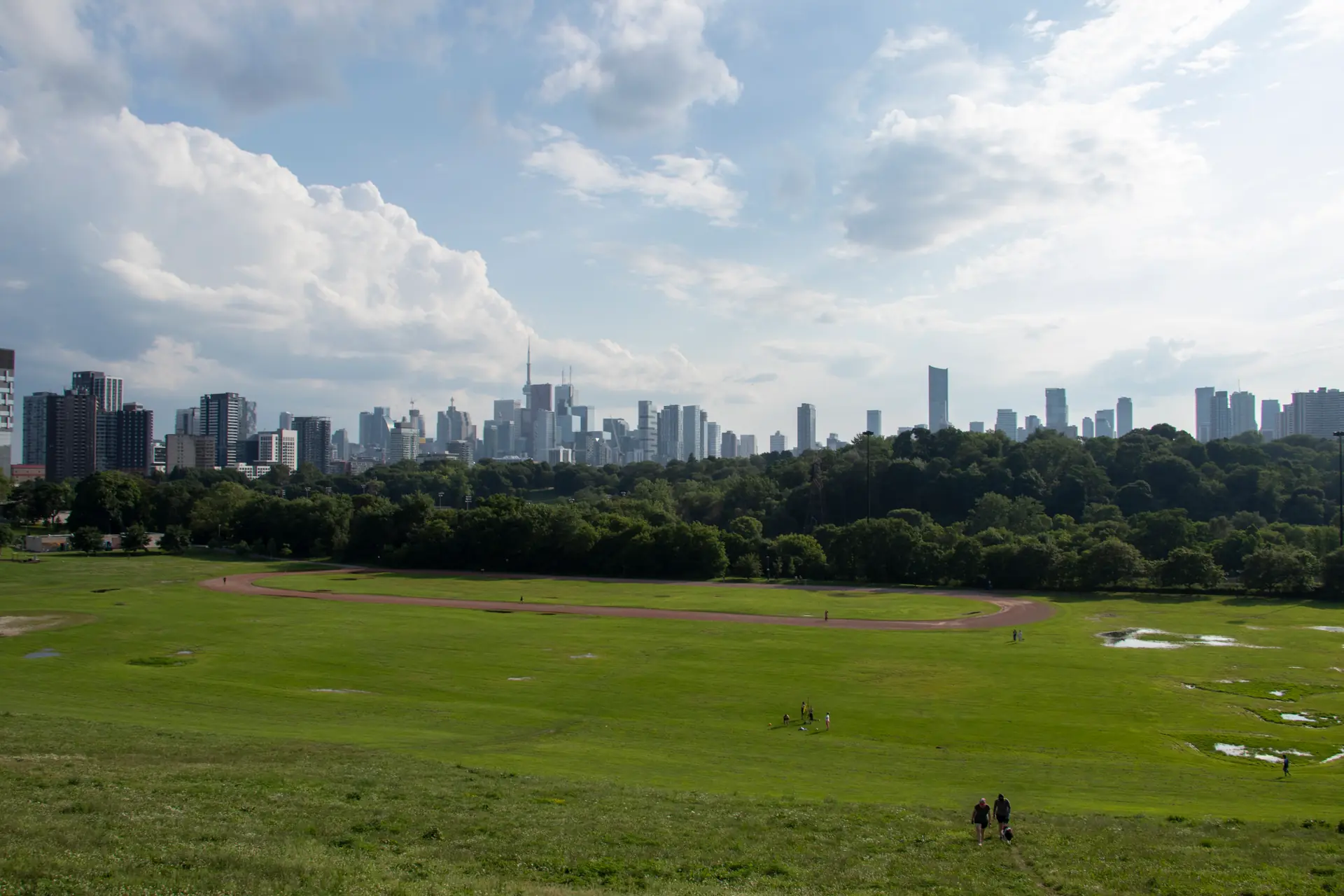
The City purchased the land that became Riverdale Park in 1856. The area later grew as a streetcar suburb, while the park's former zoo site became Riverdale Farm in 1978. The neighbourhood's present character reflects layers of residential growth, industry, immigration and main-street commerce.
How do people get around Riverdale?
Riverdale's Walk Score ratings are walking 96, transit 91 and cycling 96 on the 100-point scale. Actual travel time depends on the address, the time of day and service conditions.
What is the Riverdale housing market like?
TRREB's E01 market area recorded 82 sales across North Riverdale, Blake-Jones and South Riverdale, with an average sale price of $1,208,561 and an average of 18 days on market. These are area-level figures, not a valuation of any individual property.
Who lives in Riverdale?
Median household income across the combined profiles runs from $86,000 to $108,000, and 49 per cent of residents aged 25 to 64 hold a bachelor's degree or higher. The community section on this page breaks the figures down further.